Skip to main content
Search form
Search
New Inventory
General Collection
The Back Room
Events & Articles
Events
Articles
Newsletter Signup
We Buy Maps
About
Contact
You are here
Home
»
Inventory
Archive
Displaying 1 - 20 of 49
Sort by
Date
Title
Date Added
Pages
1
2
3
next ›
last »
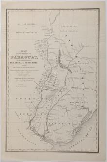
Map of the Republic of Paraguay, With the Adjacent territories of Brazil, Uruguay and the Argentine Republic, Showing the Valley of the Rio De La Plata. 1851
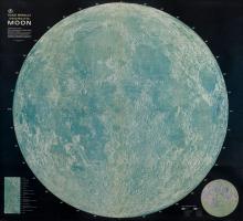
Rand McNally Official Map of the Moon [3-D ed.] 1969
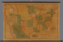
Map of the United States of America with its Territories & Districts. Including also a part of Upper & Lower Canada and Mexico. [ First 1850 edition]
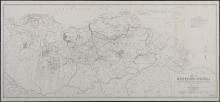
Map of Northern Venezuela Showing Oil Concessions Held by Principal Companies as of July 1, 1944
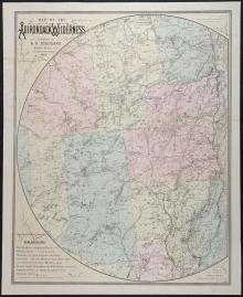
Map of the Adirondack Wilderness Compiled by S.R. Stoddard.1882 - second edition
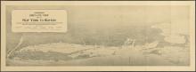
Hammond's Bird's Eye View Map of New York to Boston, c. 1920
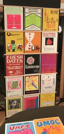
M.I.T. Student Posters '68-'71 (Originals)
A Map of the Province of Pensilvania Drawn from the Best Authorities 1756
The Constitutions of the Several Independent States of America. 1781 (First Edition)
New York Cooper's Society Membership Certificate No. 76, July Seventh, 1794. Jeremiah Dobbs, member. engraved by William Rollinson
Liberty, 1796
GEORGIA. (1808), Daniel Sturges, Surveyor General (Manuscript)
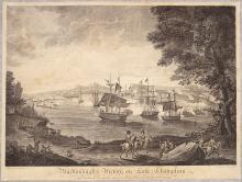
Macdonough's VIctory on Lake Champlain, 1816
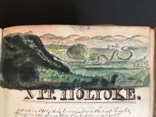
Gratia Denny Friendship Album 1826-1832 (manuscript)
Plan of the Town of Concord, Mass. 1830/1835
Atlas, ay majmu kharitat rasm al-ard, 1835
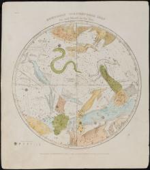
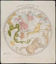
Southern CircumPolar Map for each month of the Year Plate. VII.(1835)
Northern CircumPolar Map for each month of the Year Pl.VI. (1835)
Ornamental Map of the United States and Mexico.
Geological Map of the Lake Superior Land District in the State of Michigan
Pages
1
2
3
next ›
last »
Main menu
New Inventory
General Collection
The Back Room
Events & Articles
Events
Articles
Newsletter Signup
We Buy Maps
About
Contact
New Inventory
General Collection
The Back Room
Events & Articles
Events
Articles
Newsletter Signup
We Buy Maps
About
Contact
Search form
Search