Skip to main content
Search form
Search
New Inventory
General Collection
The Back Room
Events & Articles
Events
Articles
Newsletter Signup
We Buy Maps
About
Contact
Rhode Island
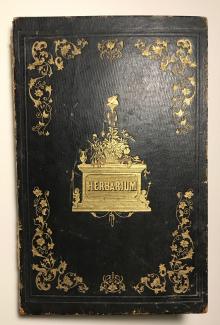
Gertrude Holbrook, American, Manuscript Travel Diary 1845-1871 including to the American South during the U.S. Civil War: political comments, local observations and personal notes accompany extensive collection of dried flora.
Map of Massachusetts, Rhode Island & Connecticut, 1837
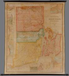
Map of Rhode Island Showing State, County and Town Boundaries. 1906 - mammoth folding map
Map of the State of Rhode Island and Providence Plantations. Henry F. Walling Civil Engineer 1855.
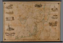
Map of the Town of South Kingstown Washington Co. Rhode Island From Actual Surveys under the direction of Henry F. Walling 1857
Rhode Island (1799)
Main menu
New Inventory
General Collection
The Back Room
Events & Articles
Events
Articles
Newsletter Signup
We Buy Maps
About
Contact
New Inventory
General Collection
The Back Room
Events & Articles
Events
Articles
Newsletter Signup
We Buy Maps
About
Contact
Search form
Search