Skip to main content
Search form
Search
New Inventory
General Collection
The Back Room
Events & Articles
Events
Articles
Newsletter Signup
We Buy Maps
About
Contact
Thematic
Pages
« first
‹ previous
1
2
3
next ›
last »
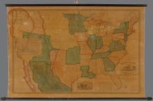
Map of the United States of America with its Territories & Districts. Including also a part of Upper & Lower Canada and Mexico. [ First 1850 edition]
Military Map of the United States, 1951
Mixed Pickles c. 1895
New York, 1964
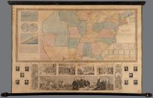
Phelps & Ensign's Travellers' Guide, and Map of the United States, 1845
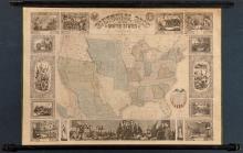
Pictorial Map of the United States 1847
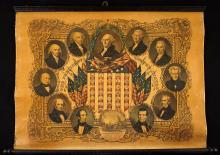
Portraits of the Presidents, 1846
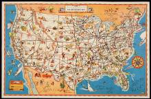
Space Age (1959)
The Greyhound Lines, c. early 1930's
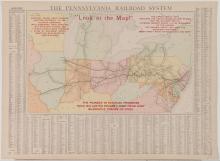
The Pennsylvania Railroad System "Look at this Map!", 1909
Pages
« first
‹ previous
1
2
3
next ›
last »
Main menu
New Inventory
General Collection
The Back Room
Events & Articles
Events
Articles
Newsletter Signup
We Buy Maps
About
Contact
New Inventory
General Collection
The Back Room
Events & Articles
Events
Articles
Newsletter Signup
We Buy Maps
About
Contact
Search form
Search