Skip to main content
Search form
Search
New Inventory
General Collection
The Back Room
Events & Articles
Events
Articles
Newsletter Signup
We Buy Maps
About
Contact
Continent
"Africa", Phebe Varney, 1830, [Society of Friends], manuscript
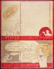
"Keep an Accurate Log Sheet!" 1944
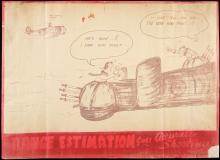
"Range Estimation Gives Accurate Shooting !" 1944
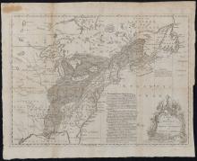
A Map of the British and French Settlements in North America, c. 1755
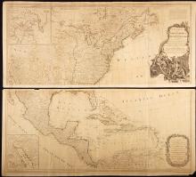
A New Map of North America with the West India Islands Divided According to the Preliminary Articles of Peace, Signed at Versailles 20 Jan. 1783, publ. 1786
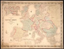
Colton's Map of Central Europe, 1859
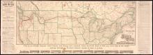
New and Correct Map of the Lines of the Northern Pacific Railroad, Fall 1883
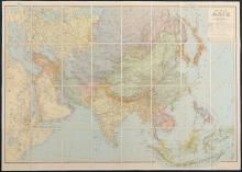
Nouvelle Asie [nd]c. 1946-1947
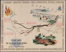
The 79th Infantry Division, WWII Pictorial Maps, 1945 (set of 4)
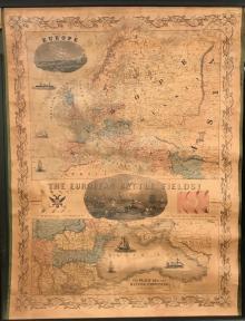
The European Battle Fields! 1854
Main menu
New Inventory
General Collection
The Back Room
Events & Articles
Events
Articles
Newsletter Signup
We Buy Maps
About
Contact
New Inventory
General Collection
The Back Room
Events & Articles
Events
Articles
Newsletter Signup
We Buy Maps
About
Contact
Search form
Search