Skip to main content
Search form
Search
New Inventory
General Collection
The Back Room
Events & Articles
Events
Articles
Newsletter Signup
We Buy Maps
About
Contact
You are here
Home
»
Inventory
Archive
Displaying 21 - 40 of 49
Sort by
Date
Title
Date Added
Pages
« first
‹ previous
1
2
3
next ›
last »
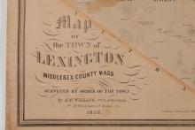
A Map of the Town of Lexington, Middlesex County, Mass. 1853
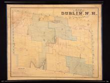
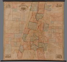
Map of the Town of Dublin, N.H. 1853
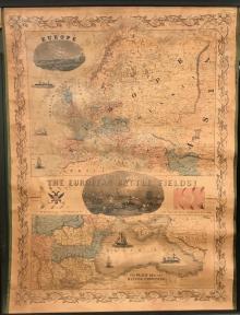
The European Battle Fields! 1854
Map of the Town of Ellsworth Hancock Co. Maine 1855
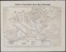
Engineer's Topographical Range Map of Sevastopol, c.1856
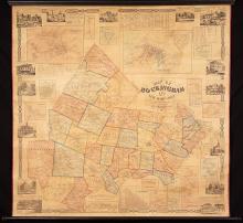
Map of Rockingham Co. New Hampshire ,1857
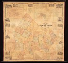
Map of Rockingham Co., New Hampshire, 1857
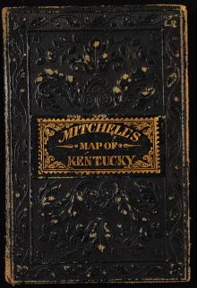
A New Map of Kentucky, 1857
Map of the County of Berkshire Massachusetts. 1858.
Haro and Rosario Straits, Surveyed by Capt. G.H. Richards & The Officers of H.M.S. Plumper, 1858-9
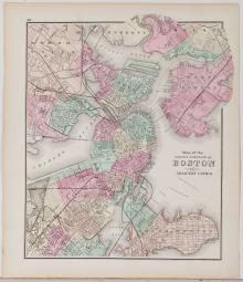
Map of Boston and Its Vicinity, 1859
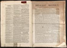
Douglass' Monthly. November, 1860.
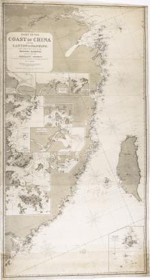
Chart of the Coast of China, 1865
Manuscript Daybook and Diary, 1865-1867 (round trip) from New York City , around Cape Horn to San Francisco, California; to Portland, Oregon; to British Columbia; and to Anadir (Siberia), Russia,
Boston, 1873
Map of The New York Wilderness and The Adirondacks, 1874
Abraham Lincoln, Portrait Photograph, 1860 and 1881
Map of Boston for 1888.
Map of the Rocky Mountain Region Showing Forest Areas and Irrigation Ditches in 1885.
Map Showing Routes of the Pacific Coast Steamship Company, June to Sept. 1889
Pages
« first
‹ previous
1
2
3
next ›
last »
Main menu
New Inventory
General Collection
The Back Room
Events & Articles
Events
Articles
Newsletter Signup
We Buy Maps
About
Contact
New Inventory
General Collection
The Back Room
Events & Articles
Events
Articles
Newsletter Signup
We Buy Maps
About
Contact
Search form
Search