Skip to main content
Search form
Search
New Inventory
General Collection
The Back Room
Events & Articles
Events
Articles
Newsletter Signup
We Buy Maps
About
Contact
Exploration
Pages
1
2
next ›
last »
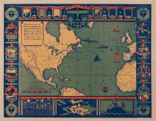
The Flight of Charles A Lindberg from New York to Paris in his monoplane "The Spirit of St. Louis" - on May 20-21, 1927
"Africa", Phebe Varney, 1830, [Society of Friends], manuscript
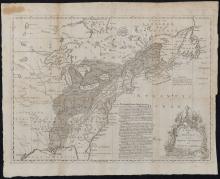
A Map of the British and French Settlements in North America, c. 1755
A Map of the Province of Pensilvania Drawn from the Best Authorities 1756
A Mapp of the Sommer Islands Once Called the Bermudas, c. 1627-1631
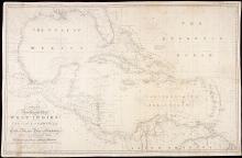
A New General Chart of the West Indies and the Coast of America, 1840
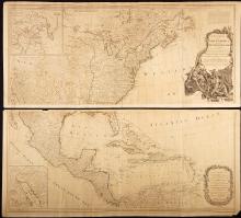
A New Map of North America with the West India Islands Divided According to the Preliminary Articles of Peace, Signed at Versailles 20 Jan. 1783, publ. 1786
Aldus Chapin Higgins Photo Album, 1923 A Ten Weeks Vacation Trip to Europe
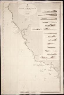
America West Coast, Diego Bay to Cape Mendocino 1855.62
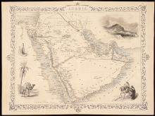
Arabia, c. 1850
Pages
1
2
next ›
last »
Main menu
New Inventory
General Collection
The Back Room
Events & Articles
Events
Articles
Newsletter Signup
We Buy Maps
About
Contact
New Inventory
General Collection
The Back Room
Events & Articles
Events
Articles
Newsletter Signup
We Buy Maps
About
Contact
Search form
Search