Skip to main content
Search form
Search
New Inventory
General Collection
The Back Room
Events & Articles
Events
Articles
Newsletter Signup
We Buy Maps
About
Contact
History
Pages
« first
‹ previous
1
2
3
4
5
6
next ›
last »
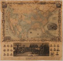
American Republic, 1863
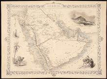
Arabia, c. 1850
Birds Eye View of Casco Bay 1905 - with WWII manuscript Mosquito Eradication Plan drawn on the map
Boston, 1857, Charles Mottram engraver, after J.W.Hill, unique printer's proof edition
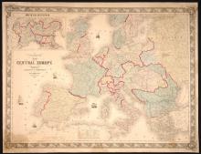
Colton's Map of Central Europe, 1859
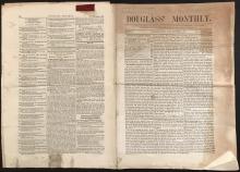
Douglass' Monthly. November, 1860.
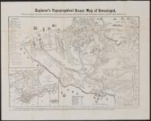
Engineer's Topographical Range Map of Sevastopol, c.1856
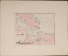
Fort Monroe And Vicinity [Virginia] c. 1860
GEORGIA. (1808), Daniel Sturges, Surveyor General (Manuscript)
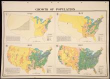
Growth of Population, 1947
Pages
« first
‹ previous
1
2
3
4
5
6
next ›
last »
Main menu
New Inventory
General Collection
The Back Room
Events & Articles
Events
Articles
Newsletter Signup
We Buy Maps
About
Contact
New Inventory
General Collection
The Back Room
Events & Articles
Events
Articles
Newsletter Signup
We Buy Maps
About
Contact
Search form
Search