Skip to main content
Search form
Search
New Inventory
General Collection
The Back Room
Events & Articles
Events
Articles
Newsletter Signup
We Buy Maps
About
Contact
Wall map
Pages
1
2
3
4
next ›
last »
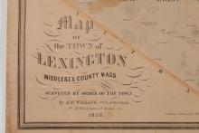
A Map of the Town of Lexington, Middlesex County, Mass. 1853
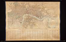
A New Map of London, 1829.
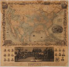
American Republic, 1863
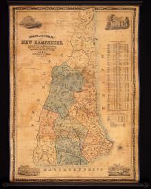
Dodge's Map of New Hampshire, 1854, Second Edition
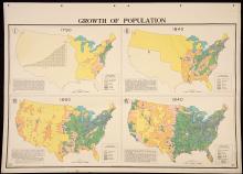
Growth of Population, 1947
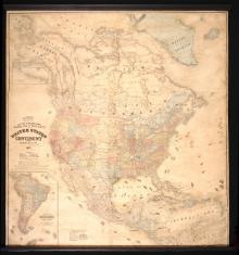
Lloyd's Topographical Railway Map of North America or the United States Continent in 1900 Projected by J.T. Lloyd
Map of Boston and Its Vicinity, 1859
Map of Massachusetts, Rhode Island & Connecticut, 1837
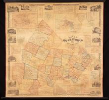
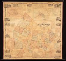
Map of Rockingham Co. New Hampshire ,1857
Map of Rockingham Co., New Hampshire, 1857
Pages
1
2
3
4
next ›
last »
Main menu
New Inventory
General Collection
The Back Room
Events & Articles
Events
Articles
Newsletter Signup
We Buy Maps
About
Contact
New Inventory
General Collection
The Back Room
Events & Articles
Events
Articles
Newsletter Signup
We Buy Maps
About
Contact
Search form
Search