Skip to main content
Search form
Search
New Inventory
General Collection
The Back Room
Events & Articles
Events
Articles
Newsletter Signup
We Buy Maps
About
Contact
Railroad and Transportation
Pages
« first
‹ previous
1
2
3
4
5
next ›
last »
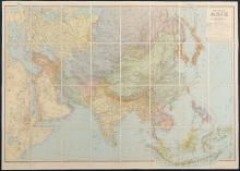
Nouvelle Asie [nd]c. 1946-1947
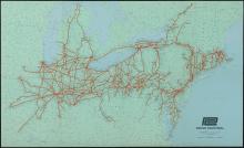
PENN CENTRAL c. 1970
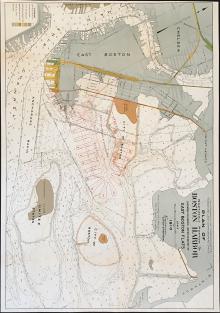
Plan of Northern Portion of Boston Harbor, 1910
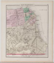
San Francisco, 1873
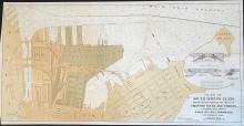
South Boston Flats, 1910
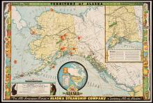
Territory of Alaska, The Alaska Line 1936
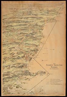
The Atlantic Shore Line Railway and Connections, c.1900
The Atlantic Shore Line Railway and Connections. 1908
The Central Part of Boston, Massachusetts, Boston Elevated, 1930
The City of New York, Fortune, 1939
Pages
« first
‹ previous
1
2
3
4
5
next ›
last »
Main menu
New Inventory
General Collection
The Back Room
Events & Articles
Events
Articles
Newsletter Signup
We Buy Maps
About
Contact
New Inventory
General Collection
The Back Room
Events & Articles
Events
Articles
Newsletter Signup
We Buy Maps
About
Contact
Search form
Search