Skip to main content
Search form
Search
New Inventory
General Collection
The Back Room
Events & Articles
Events
Articles
Newsletter Signup
We Buy Maps
About
Contact
Americana
Pages
« first
‹ previous
…
2
3
4
5
6
7
8
9
10
…
next ›
last »
Map of the City of Providence, Rhode Island (1896)
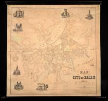
Map of the City of Salem, Mass. From An Actual Survey H.McIntyre 1851.
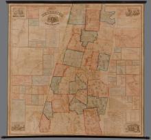
Map of the County of Berkshire Massachusetts. 1858.
Map of The County of Bristol Massachusetts. From Actual Surveys 1858.
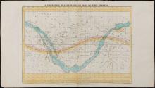
Map of the Heavens.
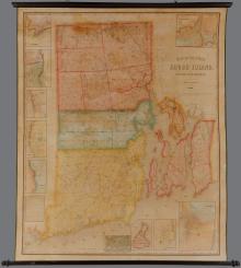
Map of the State of Rhode Island and Providence Plantations. Henry F. Walling Civil Engineer 1855.
Map of the Town of Dartmouth Bristol County Mass. 1856
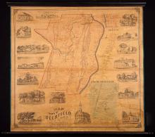
Map of the Town of Deerfield, 1855
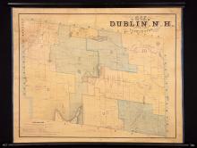
Map of the Town of Dublin, N.H. 1853
Map of the Town of Ellsworth Hancock Co. Maine 1855
Pages
« first
‹ previous
…
2
3
4
5
6
7
8
9
10
…
next ›
last »
Main menu
New Inventory
General Collection
The Back Room
Events & Articles
Events
Articles
Newsletter Signup
We Buy Maps
About
Contact
New Inventory
General Collection
The Back Room
Events & Articles
Events
Articles
Newsletter Signup
We Buy Maps
About
Contact
Search form
Search