Skip to main content
Search form
Search
New Inventory
General Collection
The Back Room
Events & Articles
Events
Articles
Newsletter Signup
We Buy Maps
About
Contact
Americana
Pages
« first
‹ previous
…
4
5
6
7
8
9
10
11
12
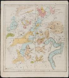
The Visible Heavens in March, February, January, Pl. III, (1835) Designed to Illustrate the Geography of the Heavens, New Edition.
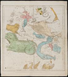
The Visible Heavens in October, November, December Pl.II. (1835)
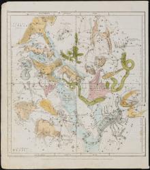
The Visible Heavens in September, August, July. Pl.V. (1835)
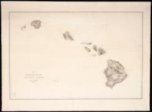
United States Exploring Expedition. Lot of 15 Individually Published South Seas navigation charts. Capt.Charles Wilkes U.S. Navy calling card with manuscript ink inscription.
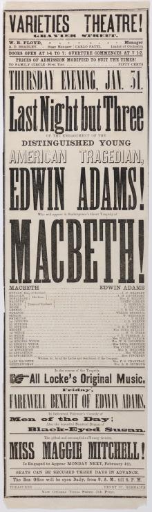
VarietiesTheatre!, New Orleans Broadsides, Lot of 3, 1867
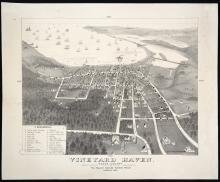
Vineyard Haven. Dukes County. Martha's Vineyard, Massachusetts. [Tisbury](c.1893?)
Virgin Islands &, 1823, Fielding Lucas, Jr.
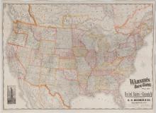
Warner's Safe Cure Prize Map c. 1887
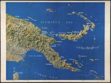
WWII U.S. Army Newsmaps, 1943-1944
Pages
« first
‹ previous
…
4
5
6
7
8
9
10
11
12
Main menu
New Inventory
General Collection
The Back Room
Events & Articles
Events
Articles
Newsletter Signup
We Buy Maps
About
Contact
New Inventory
General Collection
The Back Room
Events & Articles
Events
Articles
Newsletter Signup
We Buy Maps
About
Contact
Search form
Search