Skip to main content
Search form
Search
New Inventory
General Collection
The Back Room
Events & Articles
Events
Articles
Newsletter Signup
We Buy Maps
About
Contact
Americana
Pages
« first
‹ previous
…
4
5
6
7
8
9
10
11
12
next ›
last »
The First Book of Negroes, First Edition, First Printing 1952
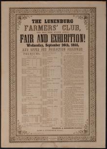
The Lunenburg Farmers' Club 1855
The New England Coast From New York to Portland.
The Soviet Union 60 Years After the Revolution
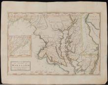
The State of Maryland from the Best Authorities (1795)
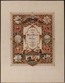
The United States of America, 1947
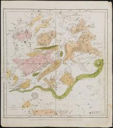
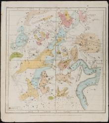
The Visible Heavens in June, May, April Pl.IV. (1835)
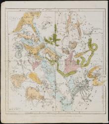
The Visible Heavens in March, February, January, Pl. III, (1835) Designed to Illustrate the Geography of the Heavens, New Edition.
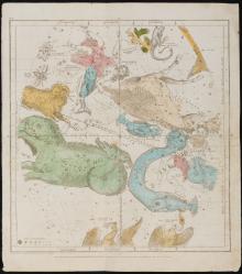
The Visible Heavens in October, November, December Pl.II. (1835)
The Visible Heavens in September, August, July. Pl.V. (1835)
Pages
« first
‹ previous
…
4
5
6
7
8
9
10
11
12
next ›
last »
Main menu
New Inventory
General Collection
The Back Room
Events & Articles
Events
Articles
Newsletter Signup
We Buy Maps
About
Contact
New Inventory
General Collection
The Back Room
Events & Articles
Events
Articles
Newsletter Signup
We Buy Maps
About
Contact
Search form
Search