Skip to main content
Search form
Search
New Inventory
General Collection
The Back Room
Events & Articles
Events
Articles
Newsletter Signup
We Buy Maps
About
Contact
Americana
Pages
« first
‹ previous
…
4
5
6
7
8
9
10
11
12
next ›
last »
Mixed Pickles c. 1895
Nantucket From Monomoy Shore, Panorama c. 1910-1920, set of Three Panoramas by H. Marshall Higgins
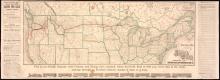
New and Correct Map of the Lines of the Northern Pacific Railroad, Fall 1883
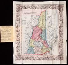
New Hampshire, Colton Pocket Map, 1854
New York Cooper's Society Membership Certificate No. 76, July Seventh, 1794. Jeremiah Dobbs, member. engraved by William Rollinson
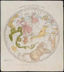
Northern CircumPolar Map for each month of the Year Pl.VI. (1835)
Ornamental Map of the United States and Mexico.
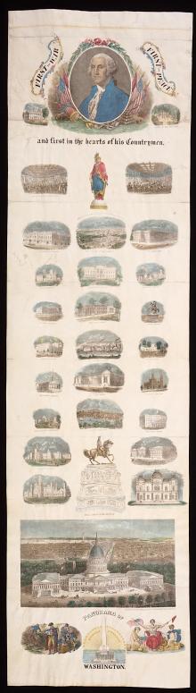
Panorama of Washington, c. 1863
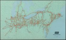
PENN CENTRAL c. 1970
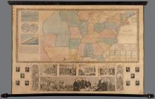
Phelps & Ensign's Travellers' Guide, and Map of the United States, 1845
Pages
« first
‹ previous
…
4
5
6
7
8
9
10
11
12
next ›
last »
Main menu
New Inventory
General Collection
The Back Room
Events & Articles
Events
Articles
Newsletter Signup
We Buy Maps
About
Contact
New Inventory
General Collection
The Back Room
Events & Articles
Events
Articles
Newsletter Signup
We Buy Maps
About
Contact
Search form
Search