Skip to main content
Search form
Search
New Inventory
General Collection
The Back Room
Events & Articles
Events
Articles
Newsletter Signup
We Buy Maps
About
Contact
Americana
Pages
« first
‹ previous
…
3
4
5
6
7
8
9
10
11
next ›
last »
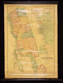
Map of the Town of Fairhaven, Bristol County, Mass. 1855
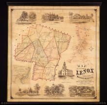
Map of the Town of Lenox Berkshire Co. Massachusetts, 1854
Map of the Town of South Kingstown Washington Co. Rhode Island From Actual Surveys under the direction of Henry F. Walling 1857
Map of the Towns of Salisbury & Amesbury Essex County, Mass. 1854
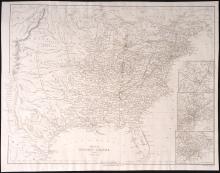
Map of the United States From the Latest Authorities. 1846 [with Map of Texas] First Edition
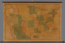
Map of the United States Including Texas c. 1844
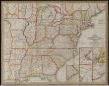
Map of the United States of America with its Territories & Districts. Including also a part of Upper & Lower Canada and Mexico. [ First 1850 edition]
Military Maps illustrating the Operations of the Armies of the Potomac & James May 4th 1864 to April 9th 1865 -unique provenance-First Edition
Mitchell's Reference and Distance Map of the United States 1845
Mitchell's Travellers Guide 1843
Pages
« first
‹ previous
…
3
4
5
6
7
8
9
10
11
next ›
last »
Main menu
New Inventory
General Collection
The Back Room
Events & Articles
Events
Articles
Newsletter Signup
We Buy Maps
About
Contact
New Inventory
General Collection
The Back Room
Events & Articles
Events
Articles
Newsletter Signup
We Buy Maps
About
Contact
Search form
Search