Skip to main content
Search form
Search
New Inventory
General Collection
The Back Room
Events & Articles
Events
Articles
Newsletter Signup
We Buy Maps
About
Contact
Americana
Pages
« first
‹ previous
1
2
3
4
5
6
7
8
9
…
next ›
last »
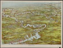
Charles River. (c.1906)
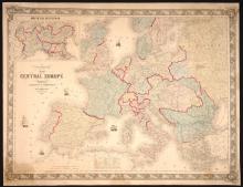
Colton's Map of Central Europe, 1859
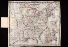
Colton's Route-Book Through the United States of America and the Canadas, 1850.
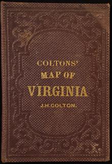
Colton's Virginia, Pocket Map, 1861
DARTMOUTH COLLEGE. First Edition [nd 1834-1835]
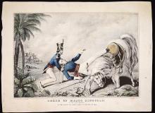
Death of Major Ringgold, 1846
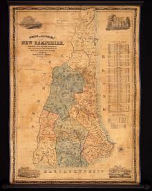
Dodge's Map of New Hampshire, 1854, Second Edition
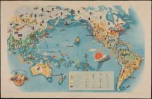
Economy of the Pacific 1940
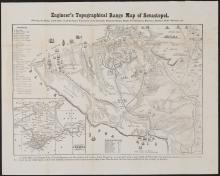
Engineer's Topographical Range Map of Sevastopol, c.1856
Excerpts From Visions of Cody (Signed and numbered First Edition) by Jack Kerouac
Pages
« first
‹ previous
1
2
3
4
5
6
7
8
9
…
next ›
last »
Main menu
New Inventory
General Collection
The Back Room
Events & Articles
Events
Articles
Newsletter Signup
We Buy Maps
About
Contact
New Inventory
General Collection
The Back Room
Events & Articles
Events
Articles
Newsletter Signup
We Buy Maps
About
Contact
Search form
Search