Skip to main content
Search form
Search
New Inventory
General Collection
The Back Room
Events & Articles
Events
Articles
Newsletter Signup
We Buy Maps
About
Contact
Geography
Pages
« first
‹ previous
1
2
3
4
5
6
7
8
9
…
next ›
last »
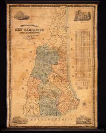
Dodge's Map of New Hampshire, 1854, Second Edition
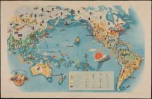
Economy of the Pacific 1940
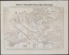
Engineer's Topographical Range Map of Sevastopol, c.1856
Geological Map of the Lake Superior Land District in the State of Michigan
GEORGIA. (1808), Daniel Sturges, Surveyor General (Manuscript)
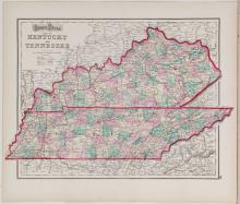
Gray's Kentucky and Tennessee, 1873
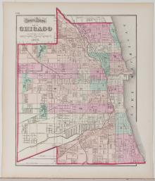
Gray's Map of Chicago, 1873
Hammond's Bird's Eye View Map of New York to Boston, c. 1920
Haro and Rosario Straits, Surveyed by Capt. G.H. Richards & The Officers of H.M.S. Plumper, 1858-9
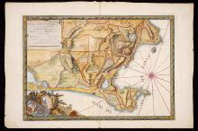
Icon Sinus Baiarum , 1772
Pages
« first
‹ previous
1
2
3
4
5
6
7
8
9
…
next ›
last »
Main menu
New Inventory
General Collection
The Back Room
Events & Articles
Events
Articles
Newsletter Signup
We Buy Maps
About
Contact
New Inventory
General Collection
The Back Room
Events & Articles
Events
Articles
Newsletter Signup
We Buy Maps
About
Contact
Search form
Search