Skip to main content
Search form
Search
New Inventory
General Collection
The Back Room
Events & Articles
Events
Articles
Newsletter Signup
We Buy Maps
About
Contact
Geography
Pages
« first
‹ previous
…
3
4
5
6
7
8
9
10
11
next ›
last »
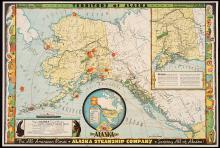
Territory of Alaska, The Alaska Line 1936
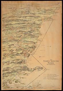
The Atlantic Shore Line Railway and Connections, c.1900
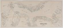
The Boston Waterfront - Boston Inner Harbor, 1934
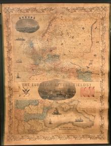
The European Battle Fields! 1854
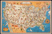
The Greyhound Lines, c. early 1930's
The New England Coast From New York to Portland.
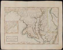
The State of Maryland from the Best Authorities (1795)
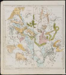
The Visible Heavens in September, August, July. Pl.V. (1835)
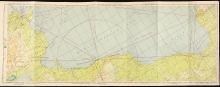
Tunis, Tunisia to Bengasi, Libya SFC 314, WWII Flight Chart, U.S. Army 1945
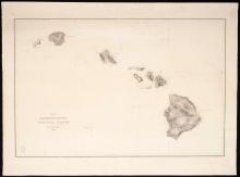
United States Exploring Expedition. Lot of 15 Individually Published South Seas navigation charts. Capt.Charles Wilkes U.S. Navy calling card with manuscript ink inscription.
Pages
« first
‹ previous
…
3
4
5
6
7
8
9
10
11
next ›
last »
Main menu
New Inventory
General Collection
The Back Room
Events & Articles
Events
Articles
Newsletter Signup
We Buy Maps
About
Contact
New Inventory
General Collection
The Back Room
Events & Articles
Events
Articles
Newsletter Signup
We Buy Maps
About
Contact
Search form
Search